Crowdecote
Introduction
The photograph on this page of Crowdecote by Dave Dunford as part of the Geograph project.
The Geograph project started in 2005 with the aim of publishing, organising and preserving representative images for every square kilometre of Great Britain, Ireland and the Isle of Man.

There are currently over 7.5m images from over 14,400 individuals and you can help contribute to the project by visiting https://www.geograph.org.uk
Crowdecote
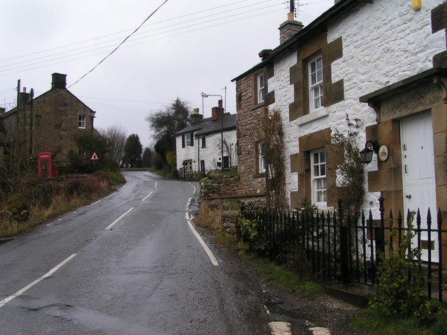
Image: © Dave Dunford Taken: 2 Apr 2006
Looking north up the main street towards the left-hand turn to Earl Sterndale on a grey, wet day. The Packhorse Inn is tucked away out of sight behind the cottages on the right.
Images are licensed for reuse under creativecommons.org/licenses/by-sa/2.0
Image Location
Latitude
53.182906
Longitude
-1.851819