Waterfront Flats Completed
Introduction
The photograph on this page of Waterfront Flats Completed by Rick Crowley as part of the Geograph project.
The Geograph project started in 2005 with the aim of publishing, organising and preserving representative images for every square kilometre of Great Britain, Ireland and the Isle of Man.

There are currently over 7.5m images from over 14,400 individuals and you can help contribute to the project by visiting https://www.geograph.org.uk
Waterfront Flats Completed
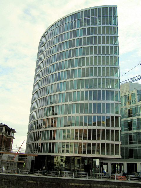
Image: © Rick Crowley Taken: 21 Aug 2008
As of August 09 see Image Nice position walking distance of Centre and Temple Meads Station.
Images are licensed for reuse under creativecommons.org/licenses/by-sa/2.0
Image Location
Latitude
51.452567
Longitude
-2.579776