Mine Shaft Cover in the Poldice Valley
Introduction
The photograph on this page of Mine Shaft Cover in the Poldice Valley by Tony Atkin as part of the Geograph project.
The Geograph project started in 2005 with the aim of publishing, organising and preserving representative images for every square kilometre of Great Britain, Ireland and the Isle of Man.

There are currently over 7.5m images from over 14,400 individuals and you can help contribute to the project by visiting https://www.geograph.org.uk
Mine Shaft Cover in the Poldice Valley
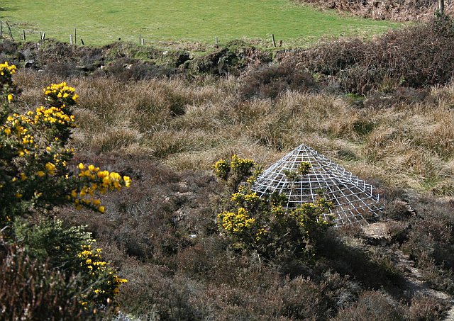
Image: © Tony Atkin Taken: 1 Apr 2006
This valley was covered in mines in the 19th Century. Now most of the buildings have gone and these conical mesh covers are commonly used to cap the shafts. They give bats access to underground roosting areas.
Images are licensed for reuse under creativecommons.org/licenses/by-sa/2.0
Image Location
Latitude
50.238002
Longitude
-5.14825