Under the trees by Brook Street, Tring
Introduction
The photograph on this page of Under the trees by Brook Street, Tring by Chris Reynolds as part of the Geograph project.
The Geograph project started in 2005 with the aim of publishing, organising and preserving representative images for every square kilometre of Great Britain, Ireland and the Isle of Man.

There are currently over 7.5m images from over 14,400 individuals and you can help contribute to the project by visiting https://www.geograph.org.uk
Under the trees by Brook Street, Tring
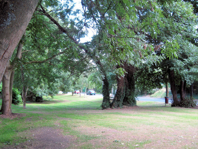
Image: © Chris Reynolds Taken: 22 Aug 2009
Between the Silk Mill and New Mill a strip of land, between Brook Street and the Silk Mill Housing estate (built in the 1970s) has been retained as open space, with trees and a stream.
Images are licensed for reuse under creativecommons.org/licenses/by-sa/2.0
Image Location
Latitude
51.799172
Longitude
-0.658699