South Lambeth, Springfield Methodist Church
Introduction
The photograph on this page of South Lambeth, Springfield Methodist Church by Mike Faherty as part of the Geograph project.
The Geograph project started in 2005 with the aim of publishing, organising and preserving representative images for every square kilometre of Great Britain, Ireland and the Isle of Man.

There are currently over 7.5m images from over 14,400 individuals and you can help contribute to the project by visiting https://www.geograph.org.uk
South Lambeth, Springfield Methodist Church
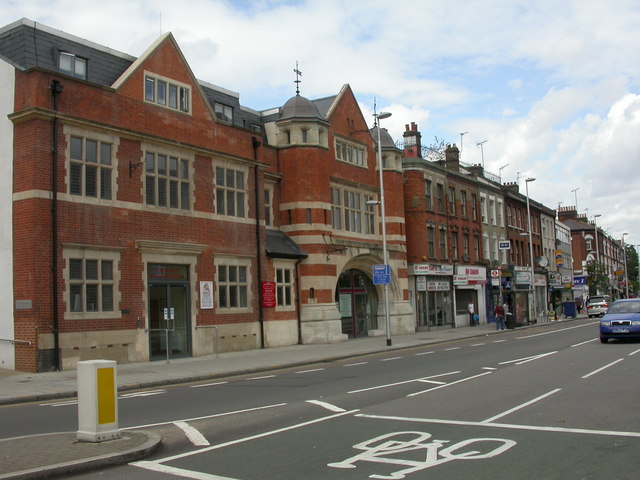
Image: © Mike Faherty Taken: 22 Aug 2009
Late Victorian church on Wandsworth Road, partially converted to affordable housing. http://www.jlaingpartnership.co.uk/downloads/Springfield%20Church,%20Lambeth.pdf
Images are licensed for reuse under creativecommons.org/licenses/by-sa/2.0
Image Location
Latitude
51.476047
Longitude
-0.129786