Battersea, converted school
Introduction
The photograph on this page of Battersea, converted school by Mike Faherty as part of the Geograph project.
The Geograph project started in 2005 with the aim of publishing, organising and preserving representative images for every square kilometre of Great Britain, Ireland and the Isle of Man.

There are currently over 7.5m images from over 14,400 individuals and you can help contribute to the project by visiting https://www.geograph.org.uk
Battersea, converted school
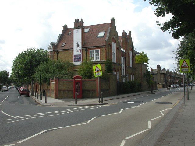
Image: © Mike Faherty Taken: 22 Aug 2009
At the junction of Silverthorne Road & Thackeray Street, in the Diamond Conservation Area; previously Thackeray Primary School, now housing. A tablet calls it"Domestic Economy School".
Images are licensed for reuse under creativecommons.org/licenses/by-sa/2.0
Image Location
Latitude
51.469828
Longitude
-0.145879