Fairfield Street
Introduction
The photograph on this page of Fairfield Street by Gerald England as part of the Geograph project.
The Geograph project started in 2005 with the aim of publishing, organising and preserving representative images for every square kilometre of Great Britain, Ireland and the Isle of Man.

There are currently over 7.5m images from over 14,400 individuals and you can help contribute to the project by visiting https://www.geograph.org.uk
Fairfield Street
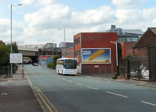
Image: © Gerald England Taken: 22 Aug 2009
Before the A635 from Ashton under Lyne was diverted along the Mancunian Way, this was the main road into Manchester from the East. Now the B6469, it crosses London Road by Piccadilly Station and then becomes Whitworth Street.
Images are licensed for reuse under creativecommons.org/licenses/by-sa/2.0
Image Location
Latitude
53.475285
Longitude
-2.220684