Pylon near Mallory Court, south of Whitnash
Introduction
The photograph on this page of Pylon near Mallory Court, south of Whitnash by Robin Stott as part of the Geograph project.
The Geograph project started in 2005 with the aim of publishing, organising and preserving representative images for every square kilometre of Great Britain, Ireland and the Isle of Man.

There are currently over 7.5m images from over 14,400 individuals and you can help contribute to the project by visiting https://www.geograph.org.uk
Pylon near Mallory Court, south of Whitnash
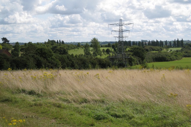
Image: © Robin Stott Taken: 22 Aug 2009
High voltage power lines emerge after their undergrounding through Heathcote Image and the Warwick Gates estate. In the distance, to the left, is the nether part of the Leamington and County golf course, as seen from the Harbury Lane greenspace.
Images are licensed for reuse under creativecommons.org/licenses/by-sa/2.0
Image Location
Latitude
52.25882
Longitude
-1.526735