Ladebraes, St Andrews
Introduction
The photograph on this page of Ladebraes, St Andrews by Jim Bain as part of the Geograph project.
The Geograph project started in 2005 with the aim of publishing, organising and preserving representative images for every square kilometre of Great Britain, Ireland and the Isle of Man.

There are currently over 7.5m images from over 14,400 individuals and you can help contribute to the project by visiting https://www.geograph.org.uk
Ladebraes, St Andrews
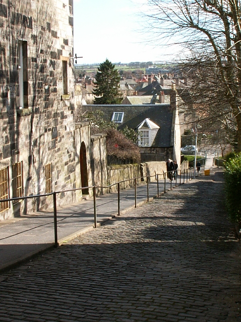
Image: © Jim Bain Taken: 1 Apr 2006
From Queens Terrace looking north and down the steep brae to the Kinness burn and Kinnessburn Road
Images are licensed for reuse under creativecommons.org/licenses/by-sa/2.0
Image Location
Latitude
56.335598
Longitude
-2.797359