River Activity, Teesport
Introduction
The photograph on this page of River Activity, Teesport by Mick Garratt as part of the Geograph project.
The Geograph project started in 2005 with the aim of publishing, organising and preserving representative images for every square kilometre of Great Britain, Ireland and the Isle of Man.

There are currently over 7.5m images from over 14,400 individuals and you can help contribute to the project by visiting https://www.geograph.org.uk
River Activity, Teesport
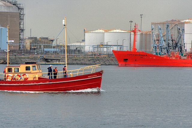
Image: © Mick Garratt Taken: 18 Aug 2009
On the far bank the 2570t 'Dutch Engineer', a tanker for hazardous waste is moored at the North Tees oil terminal.
Images are licensed for reuse under creativecommons.org/licenses/by-sa/2.0
Image Location
Latitude
54.605851
Longitude
-1.164147