Slabs covering the burn Whitecastle Gully
Introduction
The photograph on this page of Slabs covering the burn Whitecastle Gully by Iain Lees as part of the Geograph project.
The Geograph project started in 2005 with the aim of publishing, organising and preserving representative images for every square kilometre of Great Britain, Ireland and the Isle of Man.

There are currently over 7.5m images from over 14,400 individuals and you can help contribute to the project by visiting https://www.geograph.org.uk
Slabs covering the burn Whitecastle Gully
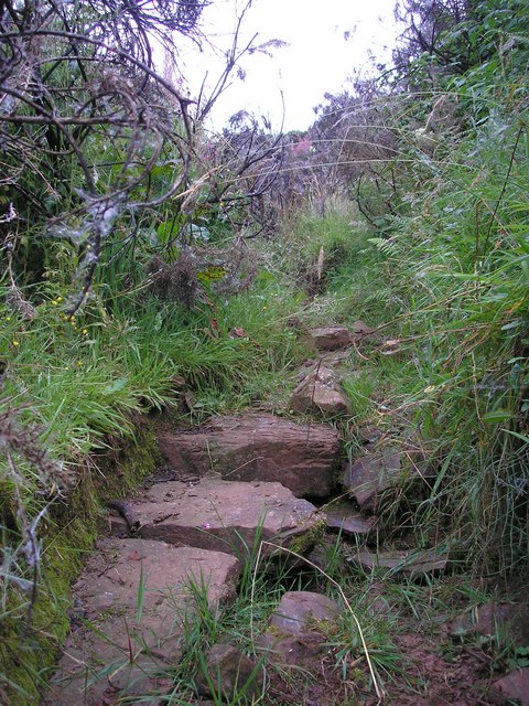
Image: © Iain Lees Taken: 18 Aug 2009
This burn has been turned into a culvert many moons ago by putting large sandstone slabs over it.
Images are licensed for reuse under creativecommons.org/licenses/by-sa/2.0
Image Location
Latitude
55.437611
Longitude
-2.679738