Stag Lane, Berkhamsted
Introduction
The photograph on this page of Stag Lane, Berkhamsted by David Sands as part of the Geograph project.
The Geograph project started in 2005 with the aim of publishing, organising and preserving representative images for every square kilometre of Great Britain, Ireland and the Isle of Man.

There are currently over 7.5m images from over 14,400 individuals and you can help contribute to the project by visiting https://www.geograph.org.uk
Stag Lane, Berkhamsted
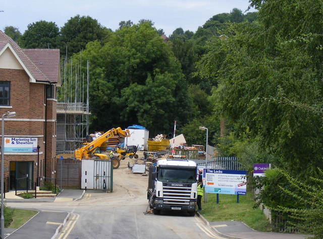
Image: © David Sands Taken: 8 Aug 2009
Construction proceeds apace as the Stag Lane area is converted into a new housing estate christened "The Locks" because of its proximity to the Grand Union Canal.
Images are licensed for reuse under creativecommons.org/licenses/by-sa/2.0
Image Location
Latitude
51.764633
Longitude
-0.57379