Greenspace off Montgomery Road, Whitnash
Introduction
The photograph on this page of Greenspace off Montgomery Road, Whitnash by Robin Stott as part of the Geograph project.
The Geograph project started in 2005 with the aim of publishing, organising and preserving representative images for every square kilometre of Great Britain, Ireland and the Isle of Man.

There are currently over 7.5m images from over 14,400 individuals and you can help contribute to the project by visiting https://www.geograph.org.uk
Greenspace off Montgomery Road, Whitnash
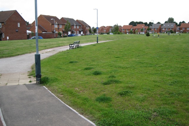
Image: © Robin Stott Taken: 21 Aug 2009
A new public open space provided under a planning agreement. It serves new residential development on the site of the extensive South Leamington private allotments. Rear of Antony Gardner Crescent, left.
Images are licensed for reuse under creativecommons.org/licenses/by-sa/2.0
Image Location
Latitude
52.271429
Longitude
-1.532463