Hangersley, fingerpost
Introduction
The photograph on this page of Hangersley, fingerpost by Mike Faherty as part of the Geograph project.
The Geograph project started in 2005 with the aim of publishing, organising and preserving representative images for every square kilometre of Great Britain, Ireland and the Isle of Man.

There are currently over 7.5m images from over 14,400 individuals and you can help contribute to the project by visiting https://www.geograph.org.uk
Hangersley, fingerpost
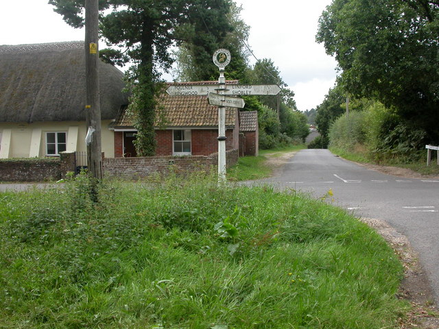
Image: © Mike Faherty Taken: 21 Aug 2009
Fingerpost at the junction of roads to Hangersley, Linford, North Poulner & Poulner; New Forest type, with roundel & ponies motif and tapering post. The eastern end of Poulner Chapel to the left.
Images are licensed for reuse under creativecommons.org/licenses/by-sa/2.0
Image Location
Latitude
50.858392
Longitude
-1.758562