Waterslade, lawn
Introduction
The photograph on this page of Waterslade, lawn by Mike Faherty as part of the Geograph project.
The Geograph project started in 2005 with the aim of publishing, organising and preserving representative images for every square kilometre of Great Britain, Ireland and the Isle of Man.

There are currently over 7.5m images from over 14,400 individuals and you can help contribute to the project by visiting https://www.geograph.org.uk
Waterslade, lawn
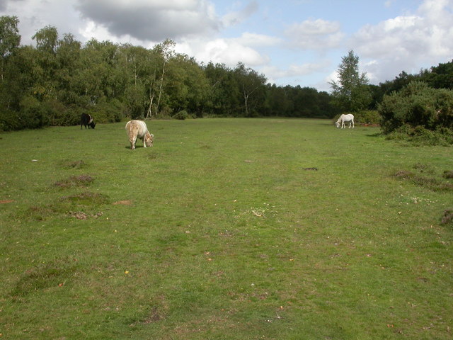
Image: © Mike Faherty Taken: 21 Aug 2009
Cattle and a pony grazing on a lawn at the top of Water Slade Bottom. Lawn is a New Forest term for a flat, open grazing area.
Images are licensed for reuse under creativecommons.org/licenses/by-sa/2.0
Image Location


Leaflet Map data © OpenStreetMap
Latitude
50.870158
Longitude
-1.751538