Crossroads at Lower Slackstead
Introduction
The photograph on this page of Crossroads at Lower Slackstead by Peter Jordan as part of the Geograph project.
The Geograph project started in 2005 with the aim of publishing, organising and preserving representative images for every square kilometre of Great Britain, Ireland and the Isle of Man.

There are currently over 7.5m images from over 14,400 individuals and you can help contribute to the project by visiting https://www.geograph.org.uk
Crossroads at Lower Slackstead
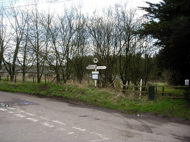
Image: © Peter Jordan Taken: 1 Apr 2006
Crossroads at Lower Slackstead. Left and east to Winchester, right and west to Braishfield. The side road, following the sign pointing towards the photographer leads to Farley church and Upper Slackstead. Behind the signpost, there are rather dilapidated sheds (probably pig sheds) at Bells Ground farm.
Images are licensed for reuse under creativecommons.org/licenses/by-sa/2.0
Image Location


Leaflet Map data © OpenStreetMap
Latitude
51.025725
Longitude
-1.439582