Along the Hanson Way 2
Introduction
The photograph on this page of Along the Hanson Way 2 by Claire Ward as part of the Geograph project.
The Geograph project started in 2005 with the aim of publishing, organising and preserving representative images for every square kilometre of Great Britain, Ireland and the Isle of Man.

There are currently over 7.5m images from over 14,400 individuals and you can help contribute to the project by visiting https://www.geograph.org.uk
Along the Hanson Way 2
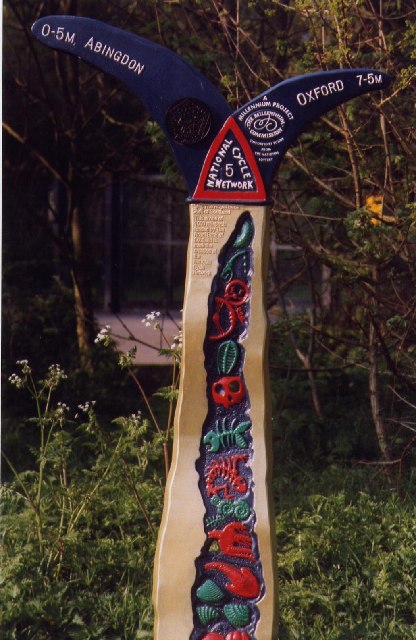
Image: © Claire Ward Taken: 24 Apr 2004
One of the more colourful distance markers along National Cycle Network route 5
Images are licensed for reuse under creativecommons.org/licenses/by-sa/2.0
Image Location


Leaflet Map data © OpenStreetMap
Latitude
51.674008
Longitude
-1.271099