Keen Fields, Hemel Hempstead
Introduction
The photograph on this page of Keen Fields, Hemel Hempstead by Ray Stanton as part of the Geograph project.
The Geograph project started in 2005 with the aim of publishing, organising and preserving representative images for every square kilometre of Great Britain, Ireland and the Isle of Man.

There are currently over 7.5m images from over 14,400 individuals and you can help contribute to the project by visiting https://www.geograph.org.uk
Keen Fields, Hemel Hempstead
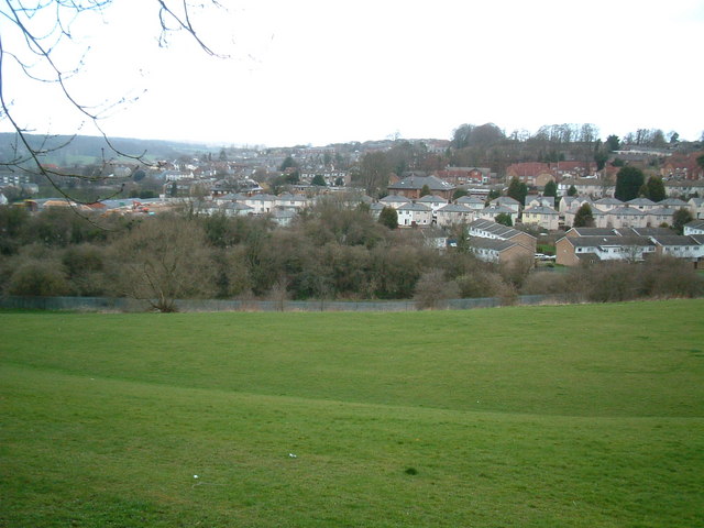
Image: © Ray Stanton Taken: 1 Apr 2006
Taken from same place on Adeyfield Road as Geograph for TL0607 but looking north rather than north east.
Images are licensed for reuse under creativecommons.org/licenses/by-sa/2.0
Image Location
Latitude
51.755232
Longitude
-0.462816