Didcot Power Station from Potash Lane
Introduction
The photograph on this page of Didcot Power Station from Potash Lane by Claire Ward as part of the Geograph project.
The Geograph project started in 2005 with the aim of publishing, organising and preserving representative images for every square kilometre of Great Britain, Ireland and the Isle of Man.

There are currently over 7.5m images from over 14,400 individuals and you can help contribute to the project by visiting https://www.geograph.org.uk
Didcot Power Station from Potash Lane
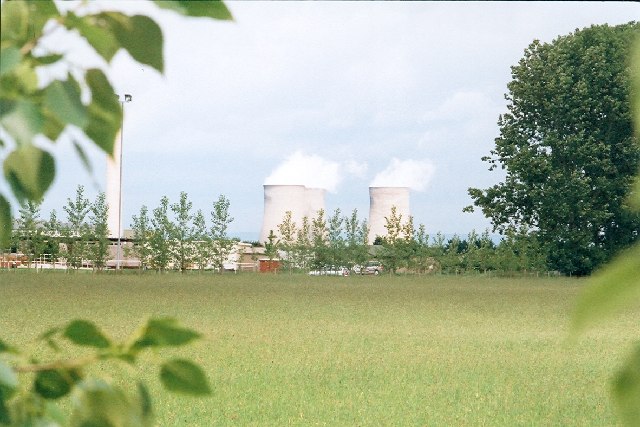
Image: © Claire Ward Taken: 4 Jun 2004
Didcot Power Station dominates the view for many miles of south Oxfordshire. This photo was taken from the road between Milton Heights an Milton Hill and not that far from the Power Station.
Images are licensed for reuse under creativecommons.org/licenses/by-sa/2.0
Image Location
Latitude
51.614889
Longitude
-1.308153