Ditchling Common
Introduction
The photograph on this page of Ditchling Common by Simon Carey as part of the Geograph project.
The Geograph project started in 2005 with the aim of publishing, organising and preserving representative images for every square kilometre of Great Britain, Ireland and the Isle of Man.

There are currently over 7.5m images from over 14,400 individuals and you can help contribute to the project by visiting https://www.geograph.org.uk
Ditchling Common
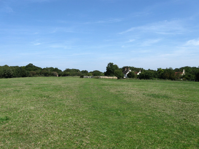
Image: © Simon Carey Taken: 19 Aug 2009
Looking towards the section once known as Coopers Corner and now containing City Cottages. The cottages would have been constructed there by small farmers to make use of the nearby common to supplement the small numbers of fields they possessed.
Images are licensed for reuse under creativecommons.org/licenses/by-sa/2.0
Image Location
Latitude
50.944647
Longitude
-0.095959