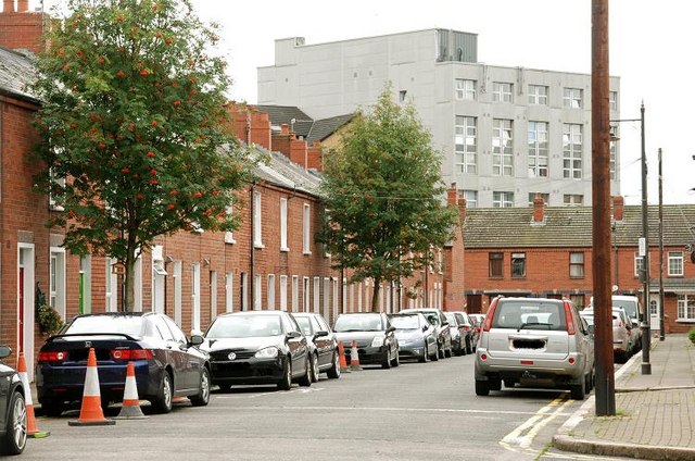
John Street, Belfast
Introduction
The photograph on this page of John Street, Belfast by Albert Bridge as part of the Geograph project.
The Geograph project started in 2005 with the aim of publishing, organising and preserving representative images for every square kilometre of Great Britain, Ireland and the Isle of Man.
There are currently over 7.5m images from over 14,400 individuals and you can help contribute to the project by visiting https://www.geograph.org.uk

Image: © Albert Bridge Taken: 19 Aug 2009
Today’s John Street dates from towards the end of the 19th century and is a cul-de-sac running from Divis Street to Institution Place Image (background). At one time it ran off Wood Street which no longer exists. To complicate matters further there was another John Street (but not as far as I can see at the same time), between North Street and Donegall Street, approximately on the same line as today’s Royal Avenue. My guess is that it disappeared during the redevelopment and change from Hercules Lane/Place to Royal Avenue - see Image.

