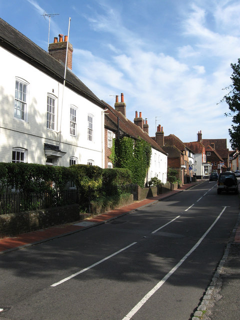
South Street
Introduction
The photograph on this page of South Street by Simon Carey as part of the Geograph project.
The Geograph project started in 2005 with the aim of publishing, organising and preserving representative images for every square kilometre of Great Britain, Ireland and the Isle of Man.
There are currently over 7.5m images from over 14,400 individuals and you can help contribute to the project by visiting https://www.geograph.org.uk

Image: © Simon Carey Taken: 19 Aug 2009
The B2112 heads south towards Brighton, originally via Ditchling Beacon then from 1820 via Clayton. The ivy covered house near the centre was the former home of Sir Frank Brangwyn, artist and etcher. The parked cars on this street can often cause tailbacks though does provide a good method of slowing traffic down as it travels through the village.

