Housing development, work in progress - Holdingham
Introduction
The photograph on this page of Housing development, work in progress - Holdingham by Mick Lobb as part of the Geograph project.
The Geograph project started in 2005 with the aim of publishing, organising and preserving representative images for every square kilometre of Great Britain, Ireland and the Isle of Man.

There are currently over 7.5m images from over 14,400 individuals and you can help contribute to the project by visiting https://www.geograph.org.uk
Housing development, work in progress - Holdingham
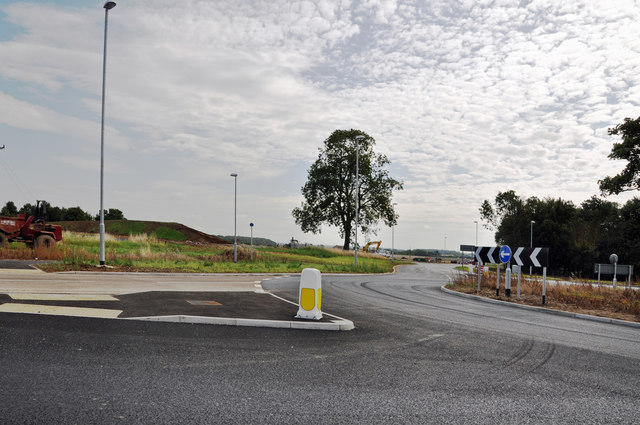
Image: © Mick Lobb Taken: 17 Aug 2009
Honour satisfied the archeologists have left site and roads are now laid on the site. A roundabout has been provided to 'ease' the flow of traffic onto the B1518. See Image
Images are licensed for reuse under creativecommons.org/licenses/by-sa/2.0
Image Location
Latitude
53.011373
Longitude
-0.423029