St James's Road, Bermondsey - bridge approach
Introduction
The photograph on this page of St James's Road, Bermondsey - bridge approach by Stephen Craven as part of the Geograph project.
The Geograph project started in 2005 with the aim of publishing, organising and preserving representative images for every square kilometre of Great Britain, Ireland and the Isle of Man.

There are currently over 7.5m images from over 14,400 individuals and you can help contribute to the project by visiting https://www.geograph.org.uk
St James's Road, Bermondsey - bridge approach
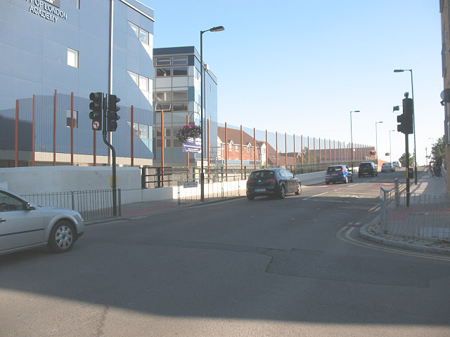
Image: © Stephen Craven Taken: 19 Aug 2009
The road rises at this point to the bridge over the route of former railway line - for a view of the bridge from the road underneath see Image The building at left is a school Image
Images are licensed for reuse under creativecommons.org/licenses/by-sa/2.0
Image Location
Latitude
51.489119
Longitude
-0.065295