Thornville Park, Omagh
Introduction
The photograph on this page of Thornville Park, Omagh by Kenneth Allen as part of the Geograph project.
The Geograph project started in 2005 with the aim of publishing, organising and preserving representative images for every square kilometre of Great Britain, Ireland and the Isle of Man.

There are currently over 7.5m images from over 14,400 individuals and you can help contribute to the project by visiting https://www.geograph.org.uk
Thornville Park, Omagh
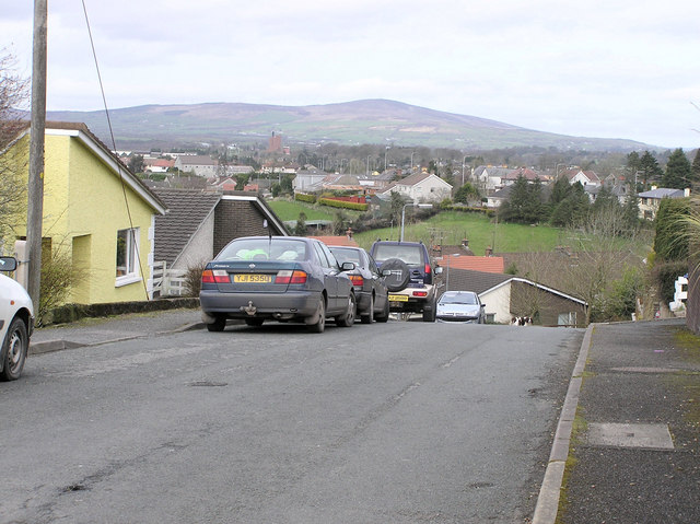
Image: © Kenneth Allen Taken: 31 Mar 2006
The view is looking north, Nestles factory which is now closed is in the distance. Bessy Bell is in the background. The higher part of Thornville Park is situated at where the locals knew it as Highland (or Heilland) Hill.
Images are licensed for reuse under creativecommons.org/licenses/by-sa/2.0
Image Location
Latitude
54.601499
Longitude
-7.315293