First Plat
Introduction
The photograph on this page of First Plat by Simon Carey as part of the Geograph project.
The Geograph project started in 2005 with the aim of publishing, organising and preserving representative images for every square kilometre of Great Britain, Ireland and the Isle of Man.

There are currently over 7.5m images from over 14,400 individuals and you can help contribute to the project by visiting https://www.geograph.org.uk
First Plat
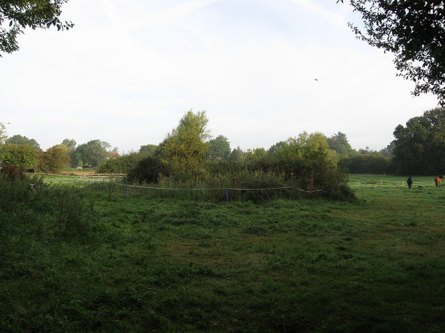
Image: © Simon Carey Taken: 19 Aug 2009
The name of the field according to the 1843 tithe map. The small plot has been joined with Second Plat to the north to form a large field. The name suggests former use as a small wood.
Images are licensed for reuse under creativecommons.org/licenses/by-sa/2.0
Image Location
Latitude
50.927606
Longitude
-0.109889