Second Plat
Introduction
The photograph on this page of Second Plat by Simon Carey as part of the Geograph project.
The Geograph project started in 2005 with the aim of publishing, organising and preserving representative images for every square kilometre of Great Britain, Ireland and the Isle of Man.

There are currently over 7.5m images from over 14,400 individuals and you can help contribute to the project by visiting https://www.geograph.org.uk
Second Plat
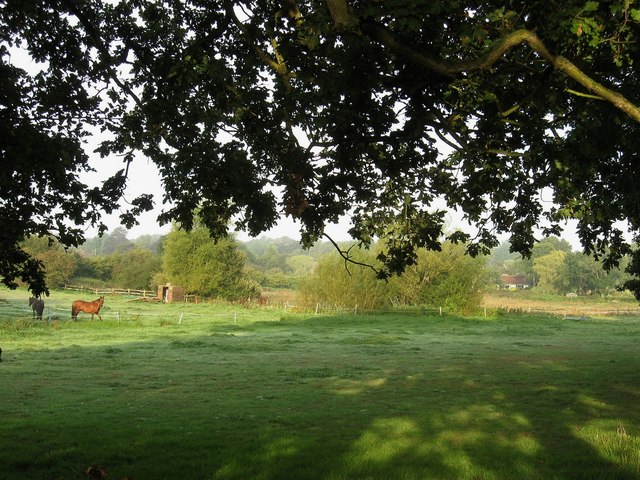
Image: © Simon Carey Taken: 19 Aug 2009
The name of the field according to the 1843 tithe map. The original small field whose boundary outline can just be made out by the darker coloured grass has now enlarged with First Plat, another small field to the south. The name plat suggests the plots were probably former woods.
Images are licensed for reuse under creativecommons.org/licenses/by-sa/2.0
Image Location
Latitude
50.927874
Longitude
-0.109735