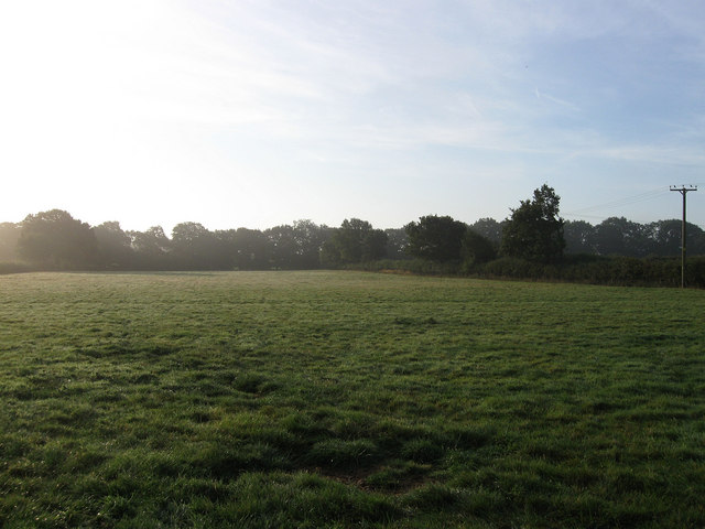
The Fourth Gores
Introduction
The photograph on this page of The Fourth Gores by Simon Carey as part of the Geograph project.
The Geograph project started in 2005 with the aim of publishing, organising and preserving representative images for every square kilometre of Great Britain, Ireland and the Isle of Man.
There are currently over 7.5m images from over 14,400 individuals and you can help contribute to the project by visiting https://www.geograph.org.uk

Image: © Simon Carey Taken: 19 Aug 2009
The name of the field according to the 1843 tithe map. There are four 'Gores' plus an Upper, three are still fields whilst the First Gores now contains the cul-de-sac called South View and Upper Gores now contains Cottage Homes. The name Gore originates from the medieval system of open field farming when many were divided into small strips tilled by farmers responsible for that strip. The small patchwork of fields between the village of Ditchling and the common still contain the pattern of small strips though many have been subdivided.

