Up To The Railway Bridge
Introduction
The photograph on this page of Up To The Railway Bridge by Peter Whatley as part of the Geograph project.
The Geograph project started in 2005 with the aim of publishing, organising and preserving representative images for every square kilometre of Great Britain, Ireland and the Isle of Man.

There are currently over 7.5m images from over 14,400 individuals and you can help contribute to the project by visiting https://www.geograph.org.uk
Up To The Railway Bridge
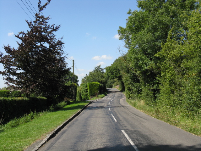
Image: © Peter Whatley Taken: 19 Aug 2009
The lane from Askett wends its way up and over the branch line between Princes Risborough and Aylesbury.
Images are licensed for reuse under creativecommons.org/licenses/by-sa/2.0
Image Location
Latitude
51.740867
Longitude
-0.82293