Castle Lane, Lurgan
Introduction
The photograph on this page of Castle Lane, Lurgan by Dean Molyneaux as part of the Geograph project.
The Geograph project started in 2005 with the aim of publishing, organising and preserving representative images for every square kilometre of Great Britain, Ireland and the Isle of Man.

There are currently over 7.5m images from over 14,400 individuals and you can help contribute to the project by visiting https://www.geograph.org.uk
Castle Lane, Lurgan
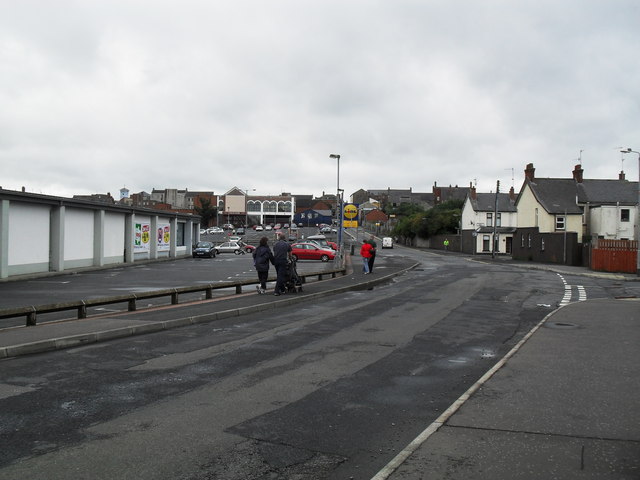
Image: © Dean Molyneaux Taken: 18 Aug 2009
Looking towards Market Street. This is far from the prettiest street in the town. It leads - like Windsor Avenue - from Market Street to the Park and Brownlow House.
Images are licensed for reuse under creativecommons.org/licenses/by-sa/2.0
Image Location
Latitude
54.46433
Longitude
-6.329792