Triangular road junction, Roydon
Introduction
The photograph on this page of Triangular road junction, Roydon by Stephen Craven as part of the Geograph project.
The Geograph project started in 2005 with the aim of publishing, organising and preserving representative images for every square kilometre of Great Britain, Ireland and the Isle of Man.

There are currently over 7.5m images from over 14,400 individuals and you can help contribute to the project by visiting https://www.geograph.org.uk
Triangular road junction, Roydon
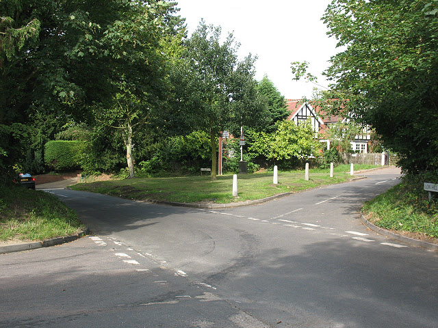
Image: © Stephen Craven Taken: 15 Aug 2009
The junction between Epping Road (B181) which runs along the far side of the triangle, Low Hill Road (running back left to front right in this shot, and Park Fields (front left to back right)
Images are licensed for reuse under creativecommons.org/licenses/by-sa/2.0
Image Location
Latitude
51.765123
Longitude
0.039524