West end of Deansway, Woodloes Park
Introduction
The photograph on this page of West end of Deansway, Woodloes Park by Robin Stott as part of the Geograph project.
The Geograph project started in 2005 with the aim of publishing, organising and preserving representative images for every square kilometre of Great Britain, Ireland and the Isle of Man.

There are currently over 7.5m images from over 14,400 individuals and you can help contribute to the project by visiting https://www.geograph.org.uk
West end of Deansway, Woodloes Park
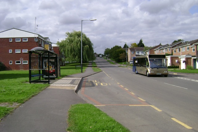
Image: © Robin Stott Taken: 17 Aug 2009
The main artery of the south-western part of the estate
Images are licensed for reuse under creativecommons.org/licenses/by-sa/2.0
Image Location
Latitude
52.29593
Longitude
-1.59379