River Leven, Glenrothes
Introduction
The photograph on this page of River Leven, Glenrothes by Colin Smith as part of the Geograph project.
The Geograph project started in 2005 with the aim of publishing, organising and preserving representative images for every square kilometre of Great Britain, Ireland and the Isle of Man.

There are currently over 7.5m images from over 14,400 individuals and you can help contribute to the project by visiting https://www.geograph.org.uk
River Leven, Glenrothes
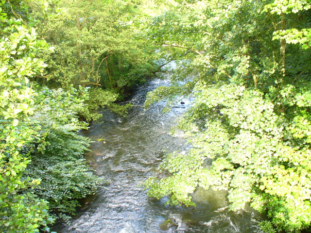
Image: © Colin Smith Taken: 12 Aug 2009
This river forms the spine of the Town Park, a green ribbon running W-E through the new town.
Images are licensed for reuse under creativecommons.org/licenses/by-sa/2.0
Image Location
Latitude
56.201411
Longitude
-3.184312