Sandyhurst Lane, aerial view
Introduction
The photograph on this page of Sandyhurst Lane, aerial view by Peter Facey as part of the Geograph project.
The Geograph project started in 2005 with the aim of publishing, organising and preserving representative images for every square kilometre of Great Britain, Ireland and the Isle of Man.

There are currently over 7.5m images from over 14,400 individuals and you can help contribute to the project by visiting https://www.geograph.org.uk
Sandyhurst Lane, aerial view
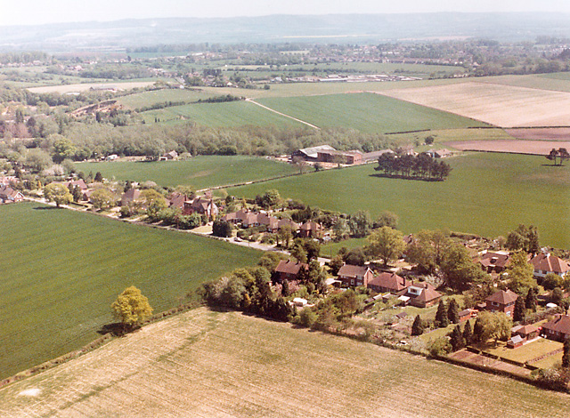
Image: © Peter Facey Taken: 1 Jun 1989
The middle part of Sandyhurst Lane, with Sandyhurst Farm beyond. (date somewhat uncertain)
Images are licensed for reuse under creativecommons.org/licenses/by-sa/2.0
Image Location


Leaflet Map data © OpenStreetMap
Latitude
51.172884
Longitude
0.858526