Footpath junction on Darenth Valley Path
Introduction
The photograph on this page of Footpath junction on Darenth Valley Path by David Anstiss as part of the Geograph project.
The Geograph project started in 2005 with the aim of publishing, organising and preserving representative images for every square kilometre of Great Britain, Ireland and the Isle of Man.

There are currently over 7.5m images from over 14,400 individuals and you can help contribute to the project by visiting https://www.geograph.org.uk
Footpath junction on Darenth Valley Path
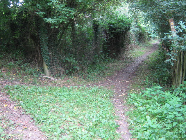
Image: © David Anstiss Taken: 16 Aug 2009
The long distance path heads past Sevenoaks Wildlife Trust land (on right) towards the London Road. Another path heads left to Pounsley Road, Dunton Green.
Images are licensed for reuse under creativecommons.org/licenses/by-sa/2.0
Image Location
Latitude
51.290689
Longitude
0.173331