A404M Underpass
Introduction
The photograph on this page of A404M Underpass by Martyn Davies as part of the Geograph project.
The Geograph project started in 2005 with the aim of publishing, organising and preserving representative images for every square kilometre of Great Britain, Ireland and the Isle of Man.

There are currently over 7.5m images from over 14,400 individuals and you can help contribute to the project by visiting https://www.geograph.org.uk
A404M Underpass
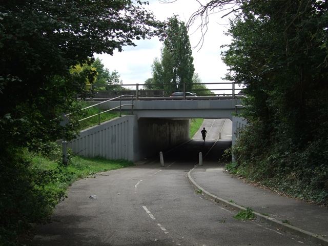
Image: © Martyn Davies Taken: 18 Aug 2009
Footpath and bridleway linking Cox Green with Maidenhead under the busy bypass.
Images are licensed for reuse under creativecommons.org/licenses/by-sa/2.0
Image Location
Latitude
51.508581
Longitude
-0.742035