Tarbert
Introduction
The photograph on this page of Tarbert by Anne Burgess as part of the Geograph project.
The Geograph project started in 2005 with the aim of publishing, organising and preserving representative images for every square kilometre of Great Britain, Ireland and the Isle of Man.

There are currently over 7.5m images from over 14,400 individuals and you can help contribute to the project by visiting https://www.geograph.org.uk
Tarbert
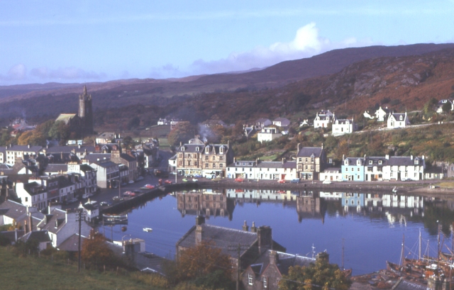
Image: © Anne Burgess Taken: Unknown
The Gaelic word tairbeart means an isthmus. In Viking times, the Kings of Scots and Norway made a treaty that Norway would have possession of any land which the king could circumnavigate at the helm of his galley. He got his men to haul the galley across the isthmus here, and thus got possession of the Kintyre peninsula.
Images are licensed for reuse under creativecommons.org/licenses/by-sa/2.0
Image Location


Leaflet Map data © OpenStreetMap
Latitude
55.862259
Longitude
-5.413336