Culloville village
Introduction
The photograph on this page of Culloville village by Dean Molyneaux as part of the Geograph project.
The Geograph project started in 2005 with the aim of publishing, organising and preserving representative images for every square kilometre of Great Britain, Ireland and the Isle of Man.

There are currently over 7.5m images from over 14,400 individuals and you can help contribute to the project by visiting https://www.geograph.org.uk
Culloville village
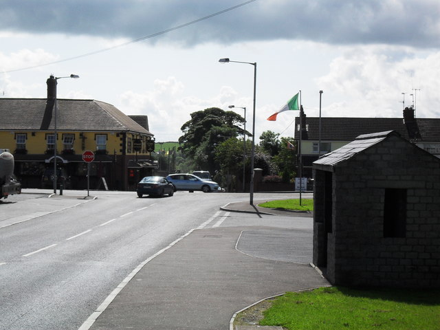
Image: © Dean Molyneaux Taken: 17 Aug 2009
Also Cullaville. It has the distinction as the southernmost village in Northern Ireland - being right at the southern tip of County Armagh, two miles south of Crossmaglen, on the Castleblayney to Dundalk road.
Images are licensed for reuse under creativecommons.org/licenses/by-sa/2.0
Image Location
Latitude
54.061629
Longitude
-6.643826