Winterbourne, Winterbourne Abbas
Introduction
The photograph on this page of Winterbourne, Winterbourne Abbas by Maigheach-gheal as part of the Geograph project.
The Geograph project started in 2005 with the aim of publishing, organising and preserving representative images for every square kilometre of Great Britain, Ireland and the Isle of Man.

There are currently over 7.5m images from over 14,400 individuals and you can help contribute to the project by visiting https://www.geograph.org.uk
Winterbourne, Winterbourne Abbas
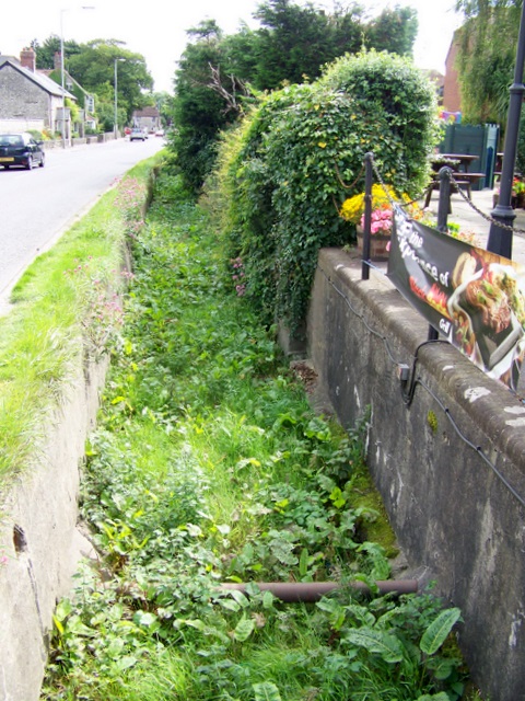
Image: © Maigheach-gheal Taken: 16 Aug 2009
Small streams are known by many different names - for example, burns, gilt, beck and slack. Bourne is a variant of burn, and is the form commonly used in the south of England since the 14th century.It is most usually applied to streams on the chalk downs which are dry in the summer. The heavier rain of winter causes springs to rise higher up the valley, and has given the names Winterbourne to a number of places in Berkshire, Gloucestershire, Dorset and Wiltshire.
Images are licensed for reuse under creativecommons.org/licenses/by-sa/2.0
Image Location


Leaflet Map data © OpenStreetMap
Latitude
50.713489
Longitude
-2.544119