The Court Knoll
Introduction
The photograph on this page of The Court Knoll by Dr Richard Murray as part of the Geograph project.
The Geograph project started in 2005 with the aim of publishing, organising and preserving representative images for every square kilometre of Great Britain, Ireland and the Isle of Man.

There are currently over 7.5m images from over 14,400 individuals and you can help contribute to the project by visiting https://www.geograph.org.uk
The Court Knoll
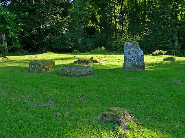
Image: © Dr Richard Murray Taken: 17 Aug 2009
A stone circle consisting of 4 stones, only one of which is still standing. Gaelic name Dunmhoid (Dunvoid) or the judgement mound. The circle encloses a burial cist.
Images are licensed for reuse under creativecommons.org/licenses/by-sa/2.0
Image Location
Latitude
56.367779
Longitude
-3.976299