Little Meadow
Introduction
The photograph on this page of Little Meadow by Simon Carey as part of the Geograph project.
The Geograph project started in 2005 with the aim of publishing, organising and preserving representative images for every square kilometre of Great Britain, Ireland and the Isle of Man.

There are currently over 7.5m images from over 14,400 individuals and you can help contribute to the project by visiting https://www.geograph.org.uk
Little Meadow
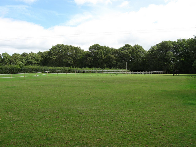
Image: © Simon Carey Taken: 16 Aug 2009
The name of the field according to the 1843 tithe map and formerly part of a medieval deer park called Frankbarrow that was disparked in the 1530s. The trees at the end of the field mark the boundary with Ditchling Common.
Images are licensed for reuse under creativecommons.org/licenses/by-sa/2.0
Image Location
Latitude
50.959601
Longitude
-0.103037