Bridleway to Ditchling Common
Introduction
The photograph on this page of Bridleway to Ditchling Common by Simon Carey as part of the Geograph project.
The Geograph project started in 2005 with the aim of publishing, organising and preserving representative images for every square kilometre of Great Britain, Ireland and the Isle of Man.

There are currently over 7.5m images from over 14,400 individuals and you can help contribute to the project by visiting https://www.geograph.org.uk
Bridleway to Ditchling Common
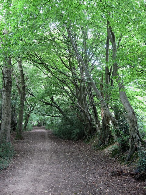
Image: © Simon Carey Taken: 16 Aug 2009
An old route judging by the embankments with trees marking field boundaries either side. The original bridleway left Keymer Road next to what is now the junction with Folders Lane but is now built over though its path can be traced. The eastern end is the only remaining part in its original state.
Images are licensed for reuse under creativecommons.org/licenses/by-sa/2.0
Image Location
Latitude
50.956032
Longitude
-0.110302