Towards Keymer Junction
Introduction
The photograph on this page of Towards Keymer Junction by Simon Carey as part of the Geograph project.
The Geograph project started in 2005 with the aim of publishing, organising and preserving representative images for every square kilometre of Great Britain, Ireland and the Isle of Man.

There are currently over 7.5m images from over 14,400 individuals and you can help contribute to the project by visiting https://www.geograph.org.uk
Towards Keymer Junction
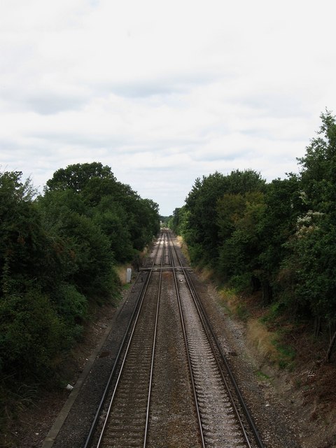
Image: © Simon Carey Taken: 16 Aug 2009
The rail link between the London-Brighton line at Keymer Junction and Lewes was opened in 1847. This view from Kings Way road bridge also takes in another older crossing just ahead which still has its original crossing keeper's house amongst the modern day suburbia of Burgess Hill.
Images are licensed for reuse under creativecommons.org/licenses/by-sa/2.0
Image Location
Latitude
50.95314
Longitude
-0.114975