Union Canal west of Redding
Introduction
The photograph on this page of Union Canal west of Redding by Chris Heaton as part of the Geograph project.
The Geograph project started in 2005 with the aim of publishing, organising and preserving representative images for every square kilometre of Great Britain, Ireland and the Isle of Man.

There are currently over 7.5m images from over 14,400 individuals and you can help contribute to the project by visiting https://www.geograph.org.uk
Union Canal west of Redding
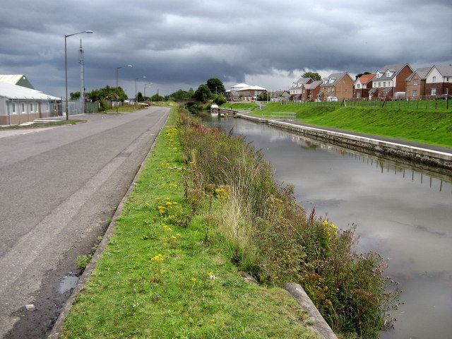
Image: © Chris Heaton Taken: 9 Aug 2009
West of Redding and HM Young Offenders Facility the canal loses its towpath temporarily, having been adopted by a road that serves an industrial estate.
Images are licensed for reuse under creativecommons.org/licenses/by-sa/2.0
Image Location
Latitude
55.983974
Longitude
-3.743632