Cycle Routes
Introduction
The photograph on this page of Cycle Routes by DS Pugh as part of the Geograph project.
The Geograph project started in 2005 with the aim of publishing, organising and preserving representative images for every square kilometre of Great Britain, Ireland and the Isle of Man.

There are currently over 7.5m images from over 14,400 individuals and you can help contribute to the project by visiting https://www.geograph.org.uk
Cycle Routes
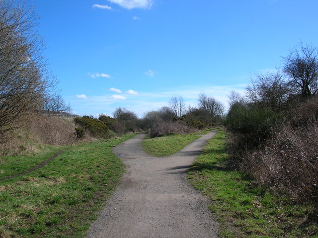
Image: © DS Pugh Taken: 31 Mar 2006
The fork in the former railway lines now provides cycle routes between Harrogate, Starbeck and Knaresborough. Take the left track for Starbeck, the right for Harrogate, or behind the camera to follow the quiet roads to Knaresborough.
Images are licensed for reuse under creativecommons.org/licenses/by-sa/2.0
Image Location
Latitude
54.012571
Longitude
-1.523857