Sockhill junction with A359 Mudford Hill
Introduction
The photograph on this page of Sockhill junction with A359 Mudford Hill by Steve Barnes as part of the Geograph project.
The Geograph project started in 2005 with the aim of publishing, organising and preserving representative images for every square kilometre of Great Britain, Ireland and the Isle of Man.

There are currently over 7.5m images from over 14,400 individuals and you can help contribute to the project by visiting https://www.geograph.org.uk
Sockhill junction with A359 Mudford Hill
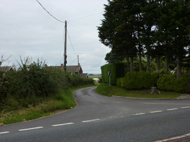
Image: © Steve Barnes Taken: 17 Aug 2009
This turning off the A359 leads down to Mudford Sock.
Images are licensed for reuse under creativecommons.org/licenses/by-sa/2.0
Image Location
Latitude
50.968163
Longitude
-2.615733