A359 Down into Mudford
Introduction
The photograph on this page of A359 Down into Mudford by Steve Barnes as part of the Geograph project.
The Geograph project started in 2005 with the aim of publishing, organising and preserving representative images for every square kilometre of Great Britain, Ireland and the Isle of Man.

There are currently over 7.5m images from over 14,400 individuals and you can help contribute to the project by visiting https://www.geograph.org.uk
A359 Down into Mudford
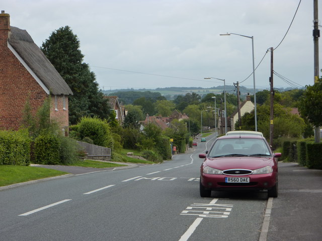
Image: © Steve Barnes Taken: 17 Aug 2009
The A359 running down the hill into Mudford - Drivers need to look out for the speed camera outside of Image as well as drivers passing the parked cars on the right.
Images are licensed for reuse under creativecommons.org/licenses/by-sa/2.0
Image Location
Latitude
50.973772
Longitude
-2.609256