Hamstreet Village viewed from the west
Introduction
The photograph on this page of Hamstreet Village viewed from the west by Adam Colton as part of the Geograph project.
The Geograph project started in 2005 with the aim of publishing, organising and preserving representative images for every square kilometre of Great Britain, Ireland and the Isle of Man.

There are currently over 7.5m images from over 14,400 individuals and you can help contribute to the project by visiting https://www.geograph.org.uk
Hamstreet Village viewed from the west
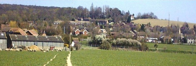
Image: © Adam Colton Taken: Unknown
This view of the village that covers much of this grid square is taken from footpath 587 south of Parker Farm, Hamstreet. A map of this particular grid square was featured on all UK postage stamps in 1991 to mark 200 years of the Ordnance Survey due to the Hamstreet area being the first to be mapped. Further images of this village can be found at http://www.hamstreet.info/
Images are licensed for reuse under creativecommons.org/licenses/by-sa/2.0
Image Location


Leaflet Map data © OpenStreetMap
Latitude
51.064473
Longitude
0.855979