View from Seahaven, Groomsport
Introduction
The photograph on this page of View from Seahaven, Groomsport by Dean Molyneaux as part of the Geograph project.
The Geograph project started in 2005 with the aim of publishing, organising and preserving representative images for every square kilometre of Great Britain, Ireland and the Isle of Man.

There are currently over 7.5m images from over 14,400 individuals and you can help contribute to the project by visiting https://www.geograph.org.uk
View from Seahaven, Groomsport
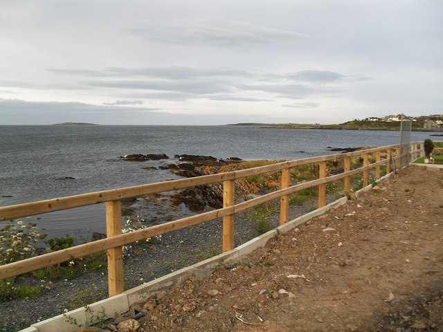
Image: © Dean Molyneaux Taken: 16 Aug 2009
The view from the rear of some chalets at the Seahaven Homes retirement community - Sandeel Bay to the right, Lighthouse Island (one of the Copelands) to the left. Orlock Point can be seen beyond Sandeel Bay.
Images are licensed for reuse under creativecommons.org/licenses/by-sa/2.0
Image Location
Latitude
54.67703
Longitude
-5.59513