S M Tidy Industrial Estate
Introduction
The photograph on this page of S M Tidy Industrial Estate by Simon Carey as part of the Geograph project.
The Geograph project started in 2005 with the aim of publishing, organising and preserving representative images for every square kilometre of Great Britain, Ireland and the Isle of Man.

There are currently over 7.5m images from over 14,400 individuals and you can help contribute to the project by visiting https://www.geograph.org.uk
S M Tidy Industrial Estate
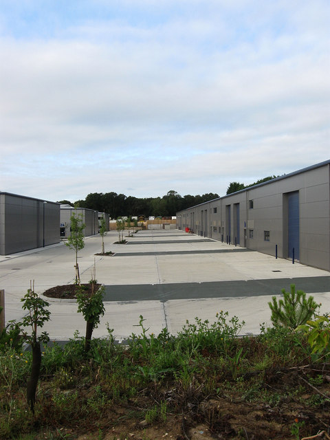
Image: © Simon Carey Taken: 16 Aug 2009
Recently erected industrial units awaiting occupants. Viewed from the footpath that runs from Ditchling Common to the Sussex Border Path the units were built on the site of a former brick and tile works which also extracted the clay from the soil here to make its products.
Images are licensed for reuse under creativecommons.org/licenses/by-sa/2.0
Image Location


Leaflet Map data © OpenStreetMap
Latitude
50.948304
Longitude
-0.094101